
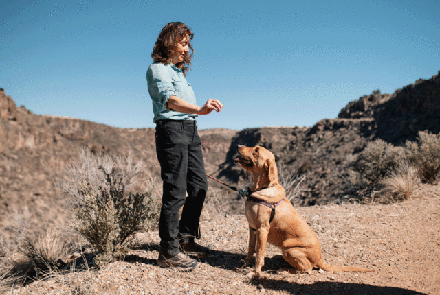
IN HER EARLIEST MEMORY, Cindy Brown was on a trail. “My parents took our family out hiking, camping, fishing, and boating,” she says. “I always loved being outside. Anyone looking for me could find me on a trail, climbing a tree, or playing in a creek catching snakes.” Brown moved to New Mexico permanently in 2009, but she’s been hiking the region most of her life. Knowing her way around the backcountry of El Norte made her a valuable resource, which led to a gig writing an outdoors column for the Taos News and authoring the Taos Hiking Guide.
A FEW YEARS AGO ON A SUNNY JULY DAY, I set out to backpack to Trampas Lakes at the base of 13,000-foot Truchas Peak. It is a beautiful place with two lakes reflecting nearby pines and steep raw mountain cliffs above.
I thought I might see some showers, but ended up hiking through five hours of steady rain. My partner and I arrived wet and tired in the midst of a tremendous storm. With thunder cracking and lightning striking all around us, we set up our tent. Both of us were experienced hikers and had good gear, including covers for our packs, but we were completely soaked.
Luckily, our sleeping bags and extra clothes were dry. The next day dawned gloriously sunny. The streams ran high. Wildflowers I had rarely seen, like the red-magenta Parry’s primrose, exploded in brilliant colors, creating a fairyland.
The variety of landscapes in New Mexico is what astonishes me. One day I’ll be hiking across the desert looking into the gorge of the Río Grande. The next, I’ll be on a steep mountain trail headed for a snow-covered peak. I cherish the solitude and lightly traveled trails that are hard to find in our neighboring states.
Read more: Lace ’em up for these five trails we love throughout the state.
I LEARNED THE HARD WAY
Bring a Map and Compass
“On one remote hike in northern New Mexico, I didn’t bring a map,” says Cindy Brown, author of the Taos Hiking Guide. “Once high above tree line, the trail was hard to follow, marked only with rock cairns. After getting lost once, I wandered off the trail and took a short fall into a gravelly ravine. I retraced my steps with the help of my GPS and was finally able to find the trail again. I continued to hike, short of the water bottle I’d lost in the fall and with a scraped and bleeding shin. It’s easy to think you’ll remember the map and directions, but after many hours of hiking at high altitudes, you might not be able to recall the details quite so well.”